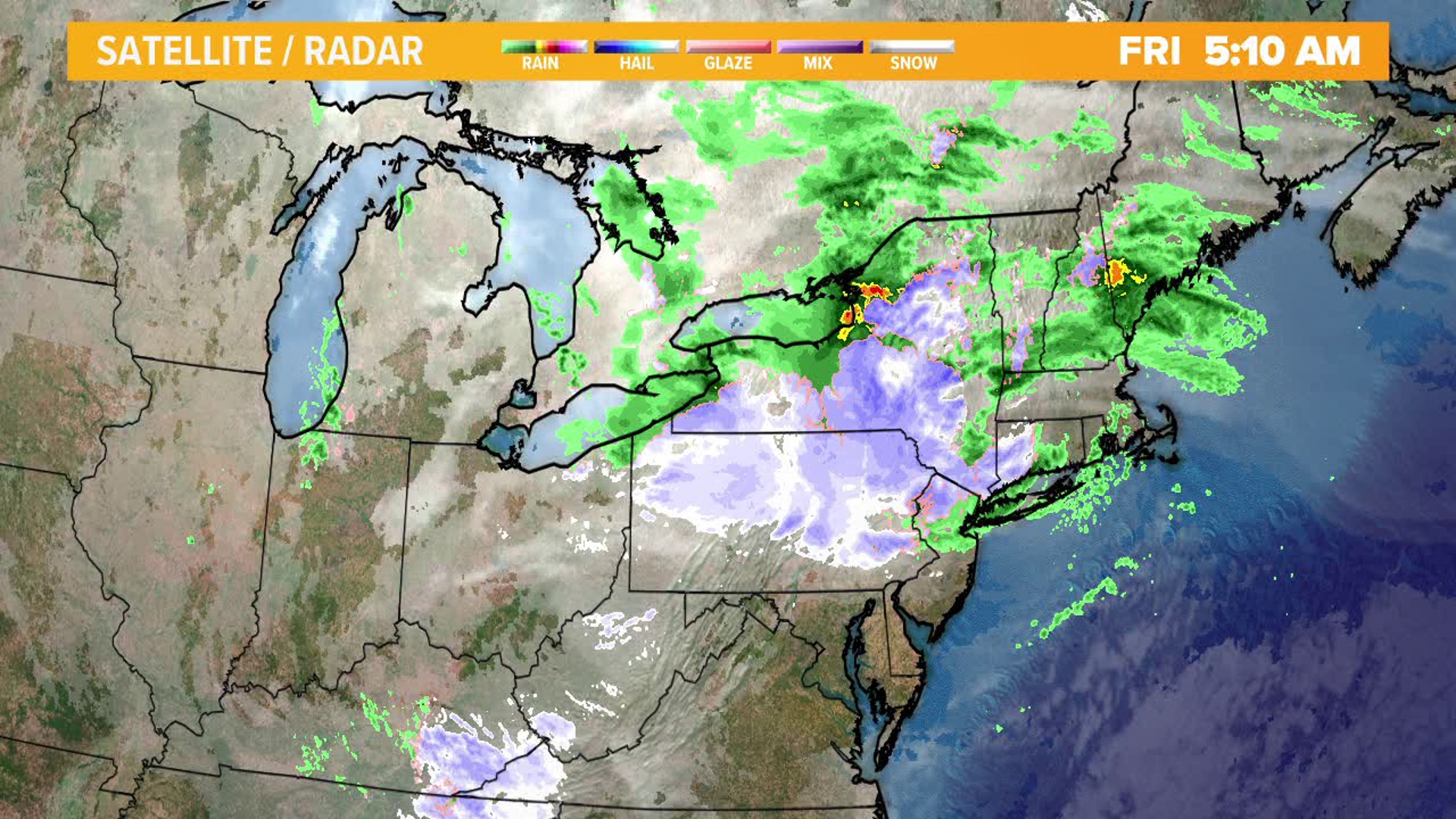
Snow has begun and will continue through the overnight. Much of northeastern and central Pennsylvania is under a Winter Storm Warning or a Winter Weather Advisory from the National Weather Service. The wet snow first melting on contact then accumulating on many surfaces after midnight, as the temperature falls into the middle and lower 30s. Expect T-3" across our low elevations locations, like the Valley Cities. Areas north and east of Scranton across the elevated terrains, may see the highest snowfall totals, expecting as much as 8" of white stuff. The bullseye of this snow will not be in central Pennsylvania, but you will probably still see some flakes, maybe even a coating on those grassy surfaces. The snow will mix again with sleet and rain again Friday afternoon before tapering off late in the day and evening.
For more info: Please check out our weather blog. Click the link below!

