
Were you able to see the Northern Lights last night? Jon Meyer took this photo in his yard in the Back Mountain area of Luzerne County around 10pm Friday night. Send us your photos to weather@wnep.com!


Here's another stunning photo taken by Paulette in Ashley. The big dipper was visible within the auroras!


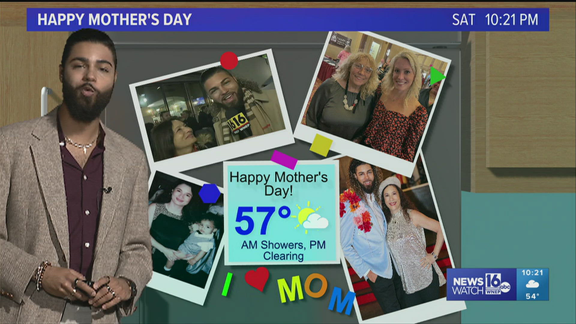
With the significant cloud cover Saturday night, it is unlikely that we will be able to see the Northern Lights again here in Central and Northeastern Pennsylvania, despite the fact that they are equally as strong. NOAA extended its Severe G5 Geomagnetic Storm Watch through Saturday night, with the auroras expected to remain visible in areas without clouds as far south as Florida and Texas. Rain showers will stick around overnight Saturday into your Mother's Day Sunday, and some could pack some rumbles of thunder. These showers and storms are not expected to be severe. As we head into the afternoon, showers will taper off and some clearing will take place. By sunset, we might see some sunny skies, well deserved for you moms out there! Happy Mother's Day to all of you! Temperatures pop back up into the 70s for next week, with the sunniest day expected to be Thursday.
Sunday (Mother's Day): Rain early, becoming more isolated as the day goes on, some breaks of sun by late afternoon. High 57.
Sunday Night: Showers dwindling. Clearing out and chilly. Low 44.
Monday: A shower or two in the afternoon and evening. Partly sunny. Warmer. High 72.
Tuesday: PM showers and storms. Mostly cloudy and breezy. High 73.
Wednesday: Widespread rain showers. Cloudy and breezy. High 71.
Thursday: Mostly sunny. Breezy. High 75.
Friday: Increasing clouds. Showers late. Breezy. High 76.
Saturday: Showers likely. High 72.