PENNSYLVANIA, USA —
TIMING:
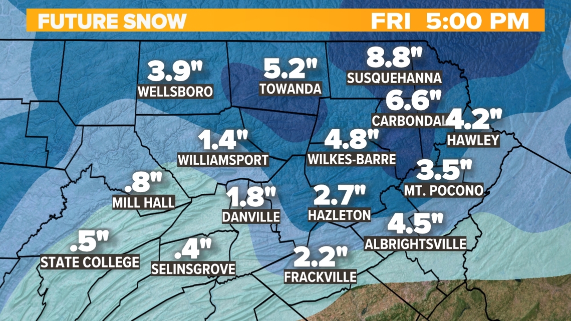
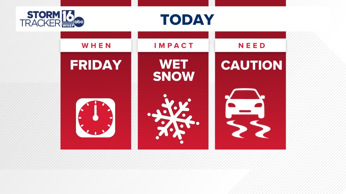
Rain will begin later today between 8-10pm from west to east. Rain will taper off as some wet snow into Thursday morning, likely with less than an inch accumulation. The more substantial storm system will begin as rain/snow showers Thursday afternoon and continue into the night as mainly wet snow. Snow will continue into Friday, tapering off into late afternoon and evening.
IMPACT:


Thursday night/Friday's snow will be more pronounced in the elevated areas of north and east of Scranton above 1200 feet elevation. With warm surface temps, snow will melt at the onset on roads, walkways etc, and stick more on grassy surfaces and outlying secondary roads. Most snow will fall and develop through the day on Friday, tapering off into evening.
BE PREPARED:


USEFUL LINKS:

