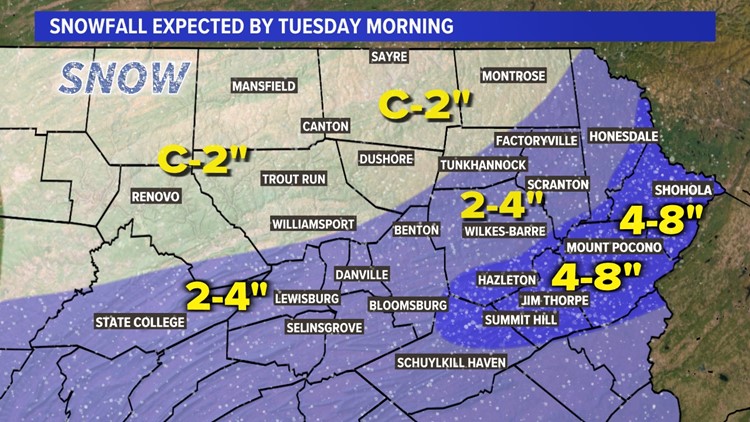
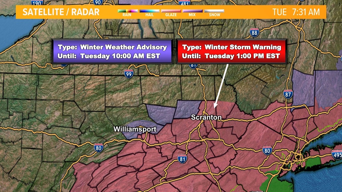
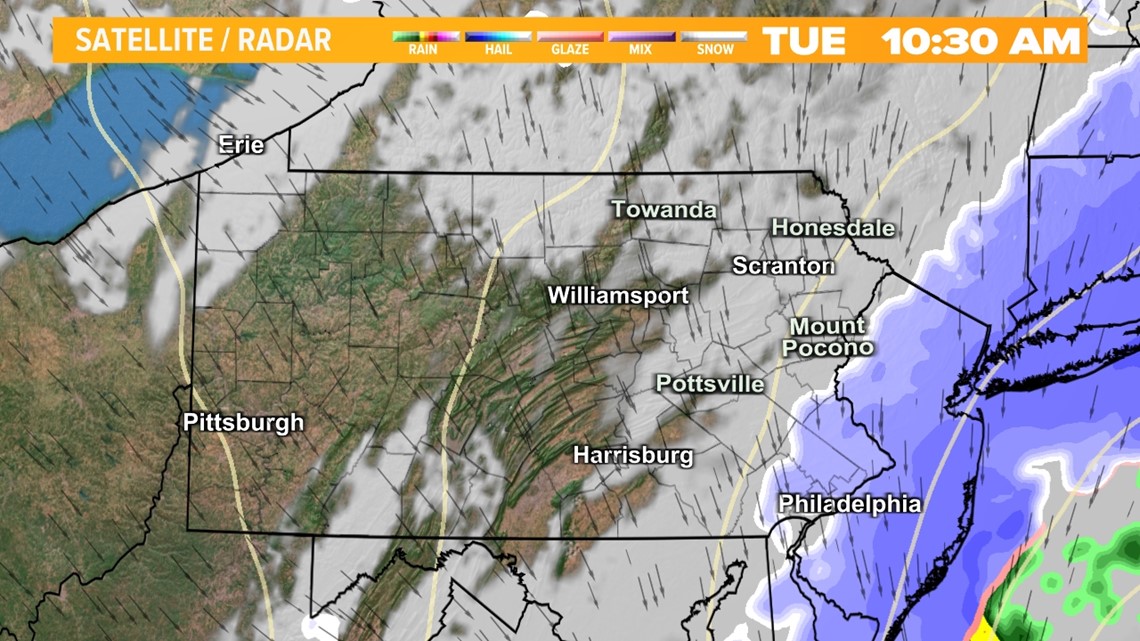
PENNSYLVANIA, USA — The Storm system is moving east and snow is ending. Major accumulating snow is tapering off with an additional 1-3" Inches south of Scranton through this morning.

With temps into the mid and upper 30s later this morning and afternoon, snow will become compact and dense, creating a heavy, wet base that will be difficult to shovel and clean up. Winds will pick up out of the northwest this afternoon averaging between 10-20mph with some pleasing breaks of sun! Conditions will improve for everyone later today and tonight with no additional snow expected.

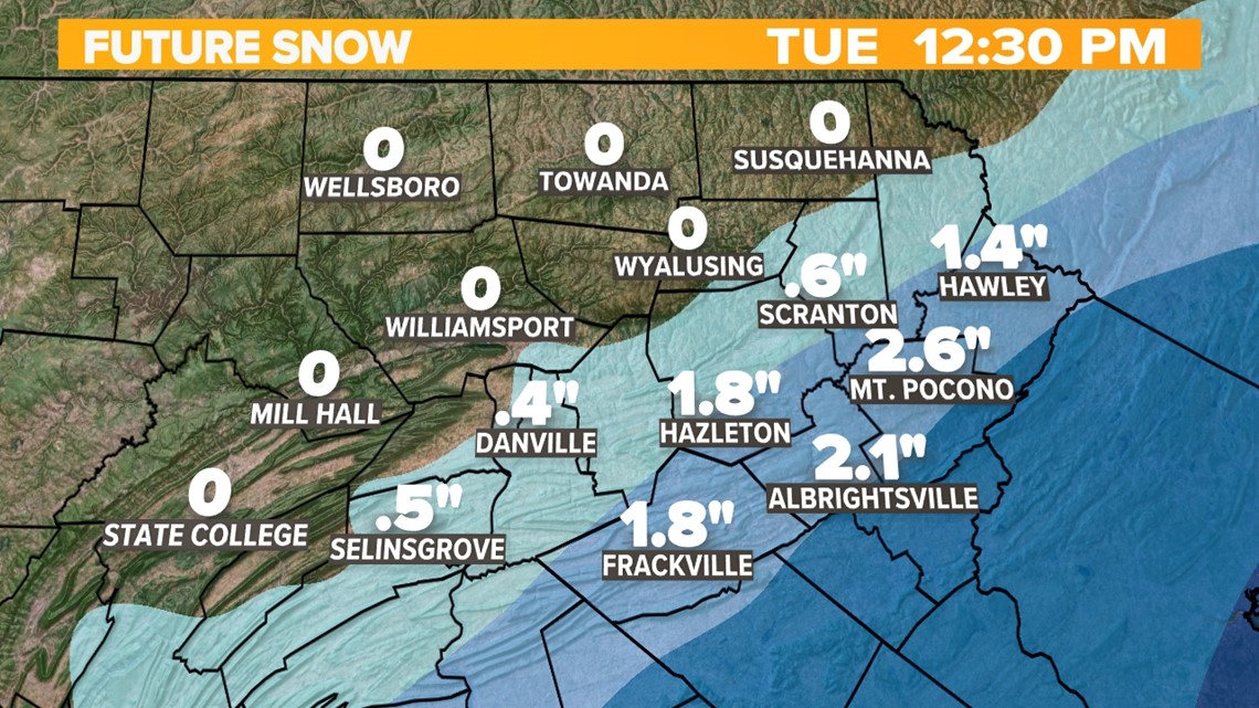
The last bands of snow will be exiting our area between 9-11am, sweeping east into New York and New Jersey

RESULTS:
The storm is quick-moving and will be out of our region by noon on Tuesday. The snow will taper off from west to east as the morning goes, leaving most of us south of the Northern Tier with enough snow to shovel and plow. A gusty NW wind will develop as well Tuesday afternoon and evening. The combination of the wind and heavy wet snow sitting on trees and wires, that could lead to power outages.
FULL FORECAST:
Get the latest Stormtracker 16 Forecast HERE.


