NASA sent a team of astronauts to the International Space Station last Friday.
"The astronauts on board the Space Station are kept very, very busy. They have a full schedule of science experiments that they help operate up in space," said NASA research scientist Denis Felixson.
Which is probably what you would expect to be happening but what you might not expect.
Felixson says, "When you're spotting the station, they're spotting you and measuring things that are going on in your neighborhood. NASA has a whole suite of instruments on the Space Station that are pointed back at Earth that are taking measurements for things like carbon sinks and sources, the temperature of plants, and the water usage of plants around the world."
I had an online chat with Denis Felixson. He's a research scientist for NASA. His research is focused on the shrinking Greenland and Antarctic Ice Sheets using satellite data.
"The idea is to measure the changing mass of the Greenland and Antarctic Ice Sheets over time," he said.
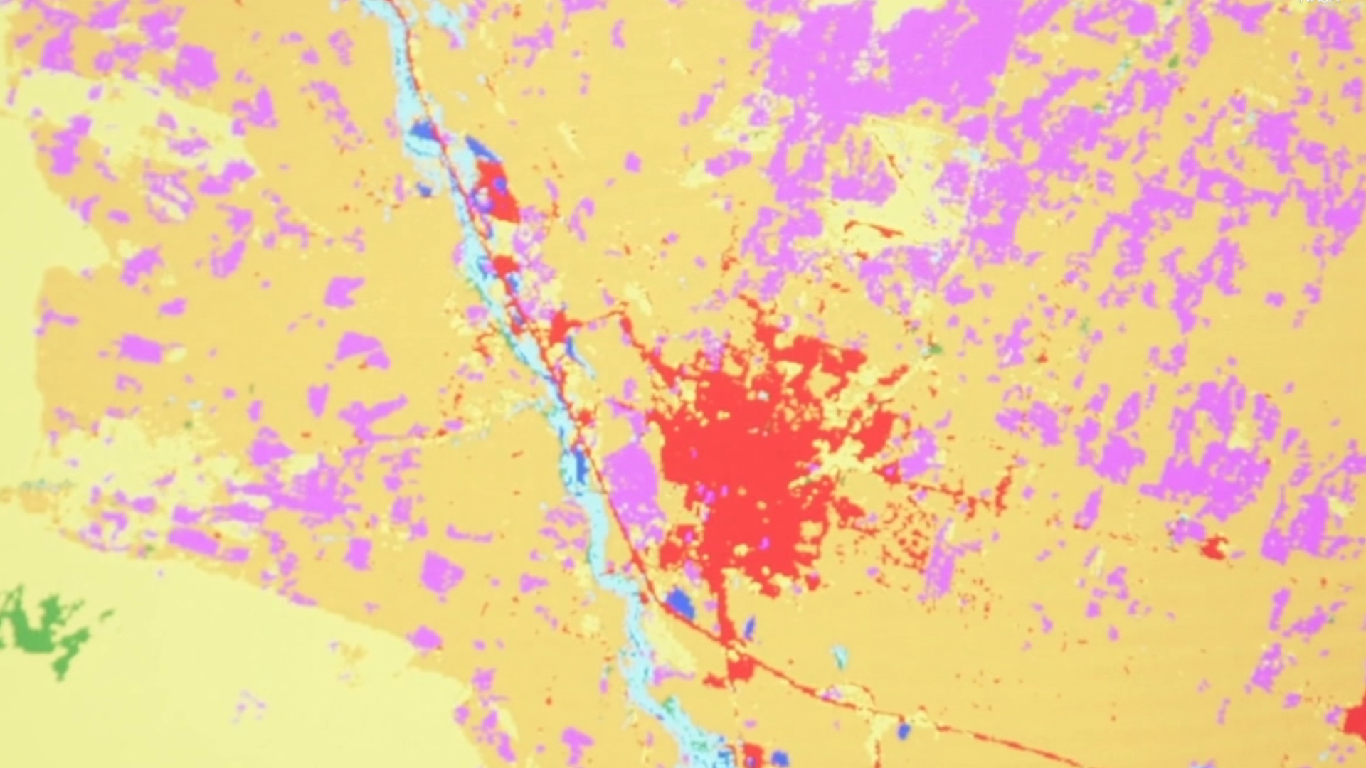
One of the most useful tools at his disposal is the Land Remote-Sensing Satellite System or LANDSAT.
Its highest use is in agriculture, but what is it measuring? What is LANDSAT? What's it do?
"LANDSAT takes images of the Earth. To the end-user, it looks like photos. In those photos, there's a lot of extra digital information contained in there."
Denis says that LANDSAT is instrumental in measuring things like deforestation and urbanization.
"It's really that long record, that 50-year record that lets us see all these changes through the decades. It's an amazing program."
LANDSAT 9 is scheduled to launch in September.
In combination with LANDSAT 8, scientists will now have a view of critical agriculture information every eight days.

