SCRANTON, Pa. — Much of Northeastern and Central Pennsylvania feels the effects of drought: dusty farms, dried-up creeks and streams, and the smell of wildfires burning nearby.
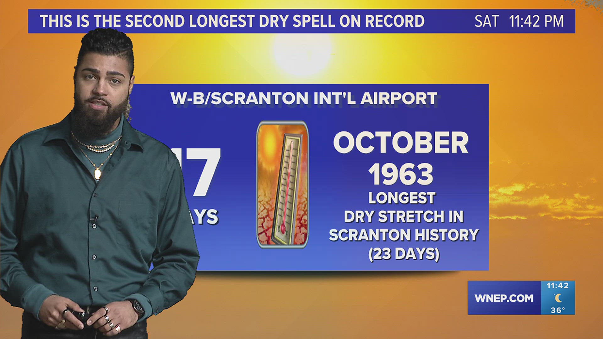
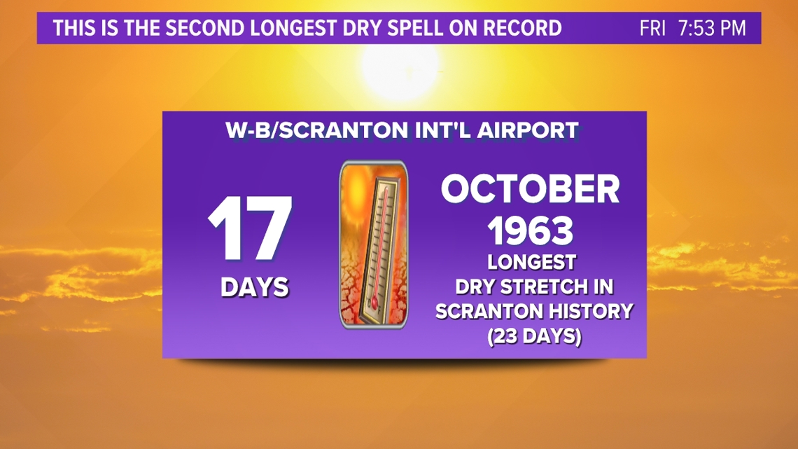
Not a single drop of rain has fallen at Wilkes-Barre/Scranton International Airport since October 23rd. Over the course of 17 days, from October 24th to November 9th, the area experienced a warm and dry pattern, mainly dominated by strong ridges of high pressure. High pressure acts as a shield, directing moisture up and over Pennsylvania. Under that shield, air is forced to sink, hindering the development of clouds and rainfall. Thus, this period is now in the record books as the second longest dry spell for Wilkes-Barre/Scranton International Airport. The longest dry stretch on record for the airport lasted 23 days from October 4th to October 26th, 1963.

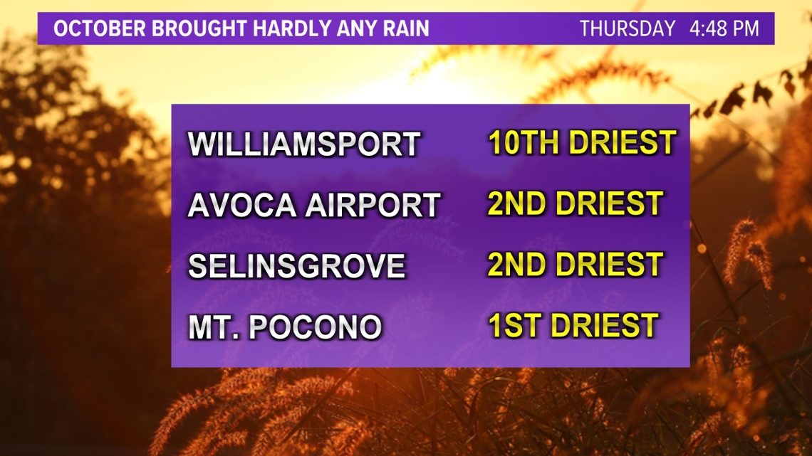
We have been hard-pressed for rain this fall season. After a relatively dry September, October was even drier. It ended up being the driest October on record in Mt. Pocono, where a measly total of only 0.18" of rain was recorded in the official gauge over the entire month.
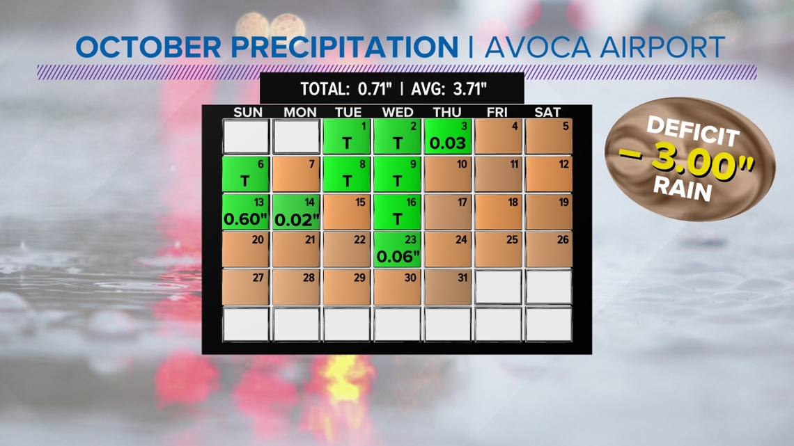
Not much more fell across the rest of Northeastern Pennsylvania either—it was the second-driest for Wilkes-Barre/Scranton International Airport and for Selinsgrove, too, where less than 0.75" fell for the entire month. Williamsport recorded its tenth driest October on record.

Almost all of our cities have more than a 3-inch rainfall deficit for October.

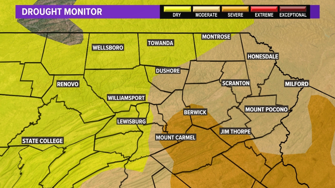
Due to the lack of rain, a drought began to build through the month of October and is intensifying through the beginning of November. Nearly all of Schuylkill County, as well as parts of Carbon, Luzerne, Columbia, Montour, and Northumberland County, is under a severe drought. The rest of Northeastern Pennsylvania is in a moderate drought, and central Pennsylvania is tagged as "abnormally dry."

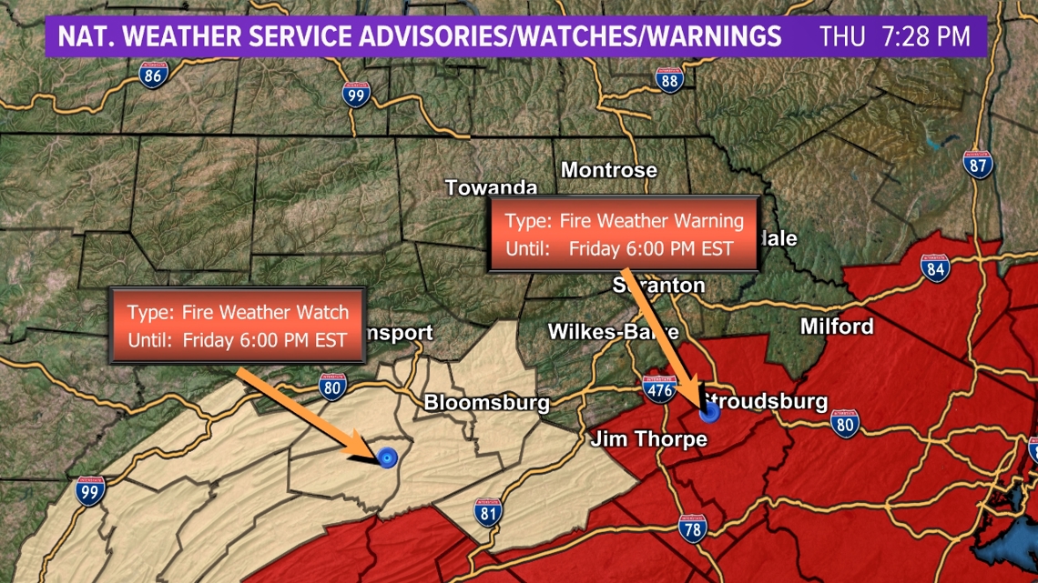
The combination of gusty winds, low humidity, above-average temperatures, and copious amounts of dry fuels (recently fallen leaves and branches, as well as dying underbrush) led to the issuing of a Fire Weather Warning, also known as a Red Flag Warning for Friday. Winds will continue to gust up to 30 miles per hour overnight into Saturday and will create prime conditions for the spread of wildfires. To reduce the risk, refrain from outdoor burning, like bonfires and fireworks, and dispose of cigarette butts in proper receptacles.

Rainfall is set to occur on Sunday afternoon and could bring 0.25"-0.75" to much of the region. This will not alleviate the drought but will help to slow its intensification. Another dose of rain could arrive on Thursday morning.

