
PENNSYLVANIA, USA — The unofficial start to summer was a beautiful one. Here in northeastern and central Pennsylvania, we had nearly perfect weather with nothing but sunshine and temperatures in the 80s all Memorial Day Weekend long.
Then just a few days later, record heat moved in. On June 1, we tied the record high of 93 degrees at the Wilkes-Barre/Scranton International Airport, and on June 2, we broke the record.
About a week after that, we set new kinds of records. Heavy smoke from the wildfires in Canada created some of the worst haze we have seen here in Pennsylvania in decades. The worst of it was on June 7, when we saw air quality indices over 400. People we spoke to that week described the scene as something out of a horror movie. Several school districts sent students home early. The city of Scranton kept non-emergency employees inside that day, delaying trash and recycling pickup.
And while we did see a hazy sky from the Canadian wildfire smoke several other times the rest of the summer, it never got quite as bad as the first week in June.
In July, we dealt with severe storms and flash flooding. There were three confirmed tornadoes on Sunday of the 4th of July weekend: one in Union County in the Lewisburg area, one in Exchange in Montour County, and one in Dickson City in Lackawanna County.
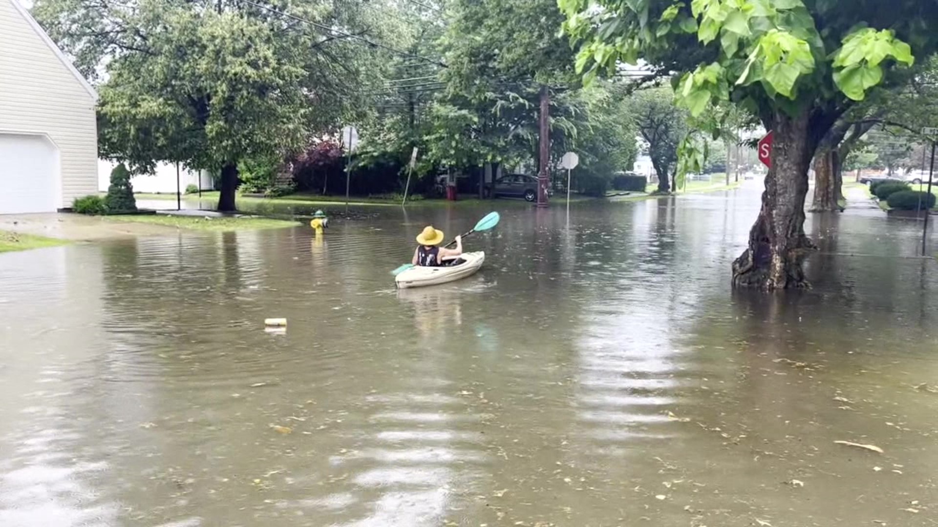
On July 9, more than 7 inches of rain fell in some areas, prompting several flash flood warnings throughout the day. We even found one person kayaking through his neighborhood in Kingston.
The most active weather day of the summer happened in August. Northeastern and central Pennsylvania saw a total of 10 tornado warnings on August 7th. The Stormtracker 16 team was on air for hours covering the warnings that moved across most of Northeastern and Central PA that afternoon and evening.
The unofficial end to summer featured something for everyone. The start of the weekend was on the cooler side with low humidity, and by Labor Day, it was the return of the 90s. It was likely the start of our first heat wave of the year, just a reminder that summer is here to stay for a bit longer.
Get the full Stormtracker 16 forecast HERE.
Check out severe weather tips on WNEP’s YouTube channel.