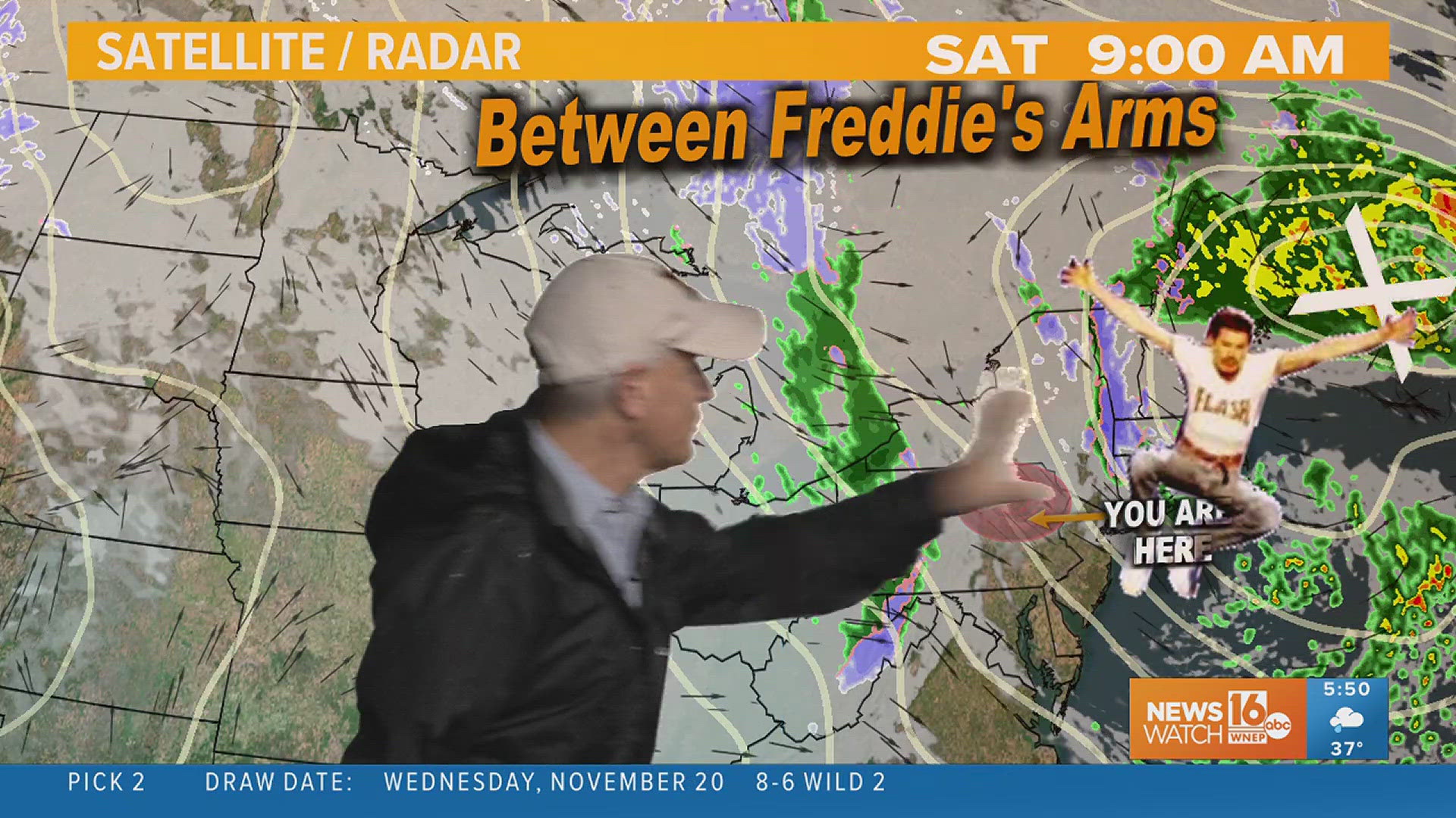
The nuts and bolts of your upcoming weekend forecast have been rock solid for three straight days now. A low pressure system pulling to our north will drag a cold front through the region. This will bring periods of rain on Saturday and the chance for lake effect flurries and snow showers on Sunday. However, as the expression goes, the devil is in the details.
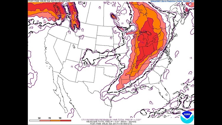
Pictured above is a 6 hour accumulated precipitation map valid 1PM Saturday from the 18z (1PM) run of the GFS (Global Forecast System) weather model. Notice that Central and Northeast Pennsylvania are highlighted in contours representing only light rain amounts. While this is only one run of one weather model, it’s all part of a trend that’s been happening over the past 24 hours. Several runs of several weather models have been delaying the onset of the rain this weekend. This is likely due in part to an antecedent high pressure system that will provide us with tranquil conditions on Friday.
A useful tool to use when trying to get a timeline of incoming precipitation is the SREF (Short Range Ensemble Forecast) model. The contours represent the chance for at least .01″ of precipitation over a 6 hour period valid 1PM Saturday. That’s a really minimal amount of rain and only about a 50/50 chance that we see it by early afternoon on Saturday.
All of this is to say that I’m cautiously optimistic that the Santa Parades happening Saturday morning will be *mostly* dry. There’s a great expression in the world of meteorology – “the trend is your friend”. Of course that applies to all trends like upping snowfall amounts or speeding up when clouds are expected to arrive. However, delaying the rain is a trend I think we would all enjoy along the parade route. Hope the trend continues and hope to see you there!
Stormtracker 16 Meteorologist John Hickey


