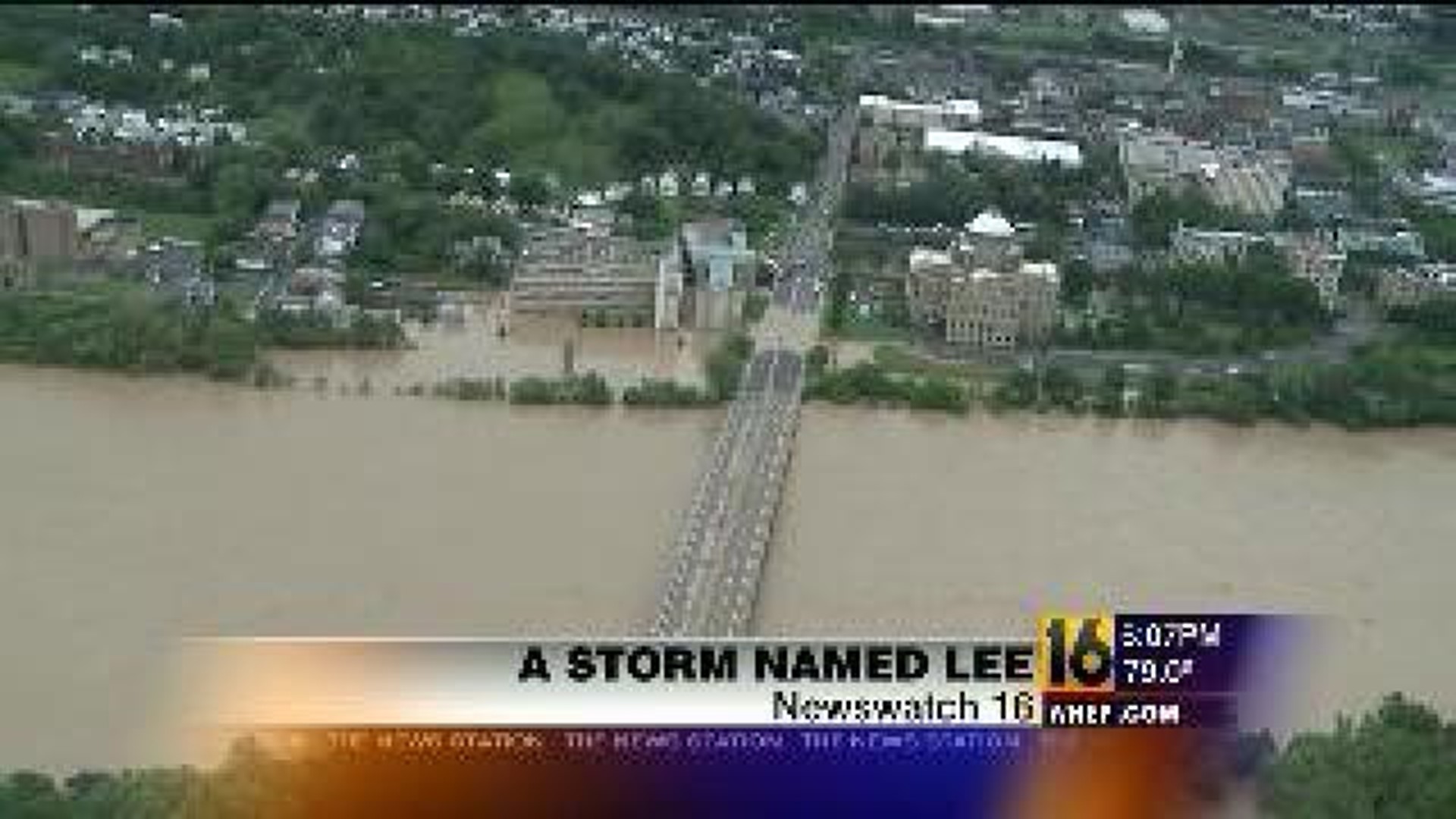
WILKES-BARRE -- One year ago Tuesday, Tropical Storm Lee made landfall along the coast of Louisiana. Five days later it would cause some of the worst flooding Pennsylvania has ever seen.
From space, Tropical Storm Lee didn't seem all that threatening in satellite photos just as the storm was moving onshore.
Five days later, the storm helped cause the worst flooding in decades across Northeast and Central Pennsylvania.
One year later, the Susquehanna River in Wilkes-Barre is back in its banks.
But many people we talked with say they had no idea a storm that hit land so far away could cause so much damage here at home.
Steve Tippins recalls being in a dorm room at Wilkes University. The weather was the last thing on his mind when the call came to get out. He had to leave twice.
"When I heard evacuation was happening throughout the whole city, I was in Wilkes, it was a big surprise when I got the phone call. I went home, but then they evacuated us from there and we went to our uncle's house in Bear Creek."
Corey Croughn's mom lives in West Pittston, and he drove here from New York City before the storm hit because she told him something just didn't seem right.
"I had no idea that something so far away could cause such problems up here which made me think this storm coming what would happen up here," said Croughn.
Tropical Storm Lee made landfall in Louisiana on September 4. Back home in Pennsylvania, this area was already saturated from rains caused by Tropical Storm Irene. On September 7, the first evacuation orders went out, and on September 9, the Susquehanna River crested here at record levels.
"A year ago I was trying to help folks clean up their messes from the ravage storm we had and it was something else they were disgusted and it was something we`d like to never see again," said Bob Merola, of Kingston.

