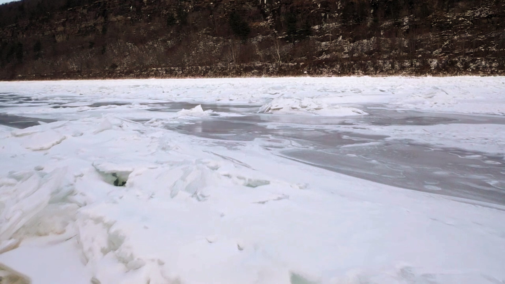
PENNSYLVANIA, USA — Many variables go into forecasting river levels. In the winter, when there is snow-pack on the ground, hydrologists with the National Weather Service have to ask a lot more questions when there is rain in the forecast.
"We're looking at myriad more factors that go into winter hydrology and how much flow will get into the rivers," said Jim Brewster, the hydrologist at the National Weather Service near Binghamton.
The office forecasts the weather for northeastern Pennsylvania. This week, Brewster is looking at river levels and how much snow is on the ground, and where it is because snowmelt can impact a river level forecast. He says the temperature is also important.
"Which we're not going to see this time around is really mild temperatures, 50s, 60s, strong wind and very moist, humid environment. That's where you lose your snow very quickly. And in this case, Thursday and Friday, we're not seeing that. We're just expecting relatively mild temperatures, so we're not expecting a lot of runoff to come out of the snow-pack," Brewster said.
Another concept you have probably heard of: ice jams. When ice forms over rivers and creeks, and there is a big warm-up, that can lead to problems.
"The biggest thing that we look for is increase in river flow because what this will do is it will help to break up the ice sheets that are covering the rivers and then once you get that broken up and start moving, then is when you have the problems with ice jamming and the result of ice jam, flooding starts to occur."
Because of how cold it has been over the past few weeks, Brewster does not expect much movement along the Susquehanna and Lackawanna Rivers. He says the ice is just too thick.
"Then only one- to two-foot rises really don't quite meet our threshold right now, for a widespread, very dangerous threat of ice jam or ice movement and ice jamming."
However, smaller streams and creeks need less energy to move that ice, so folks living along those should not let their guard down this week.
You can keep an eye on river levels by clicking here.
Get the complete Stormtracker 16 forecast here.
Check out winter severe weather tips on WNEP’s YouTube channel.

