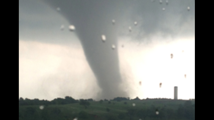
Viewers of KFOR-TV sent in hundreds of photos of the tornado that moved through Moore, Oklahoma and the surrounding area.
During large weather events the internet is filled with old, wrong, and sometimes even fake photos claiming to be of whatever storm is in the news.
Here are 10 photos confirmed to be of the actual tornado impacting the Moore, Oklahoma area on May 20th, courtesy of KFOR.com.
1: A classic view of the ‘Elephant Trunk’ tornado shape seen by many:

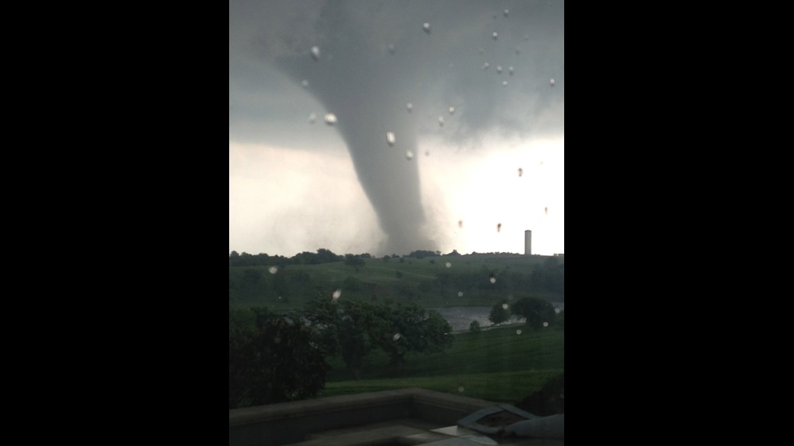
2: Lowering clouds and a dramatic sky surround the storm:

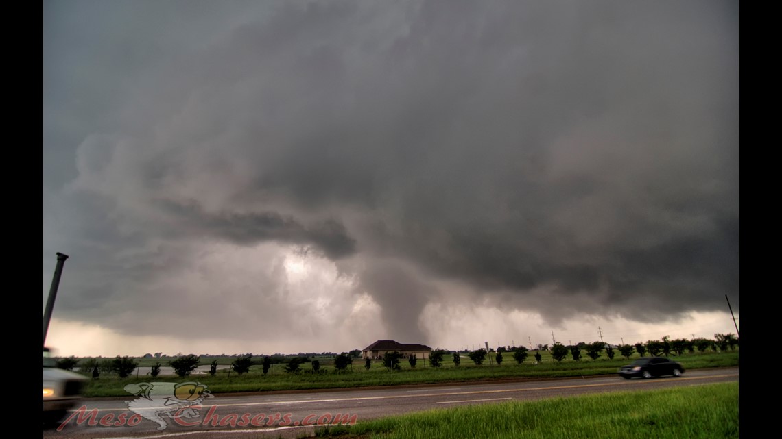
3: Another view of the ‘Elephant Trunk’ as it moves into populated areas:

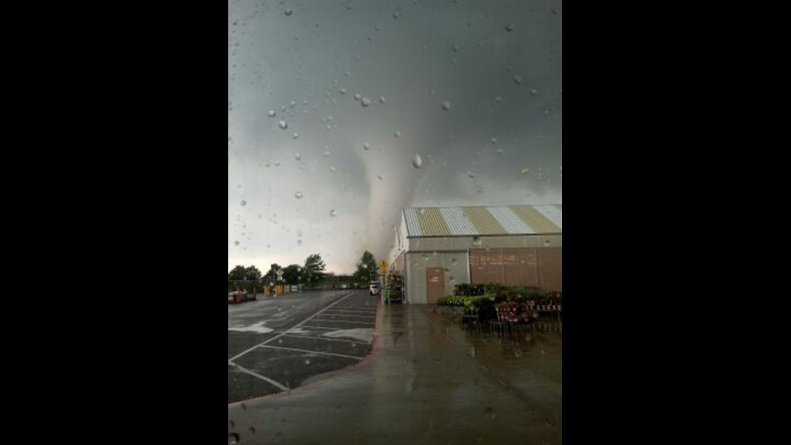
4: A dramatic view of the storm moving through a neighborhood:

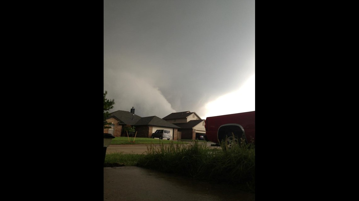
5: In this view you can really see how tightly wound up the storm is and how much debris there is at the base:

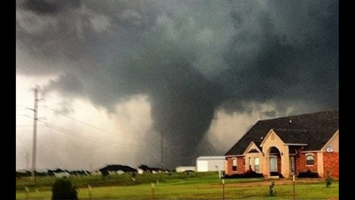
6: At it’s peak, the storm was around two miles wide; seen in this photo:

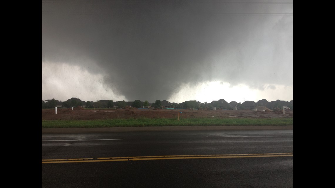
7: Cameras from KFOR-TV captured the storm live as it moved through the area:

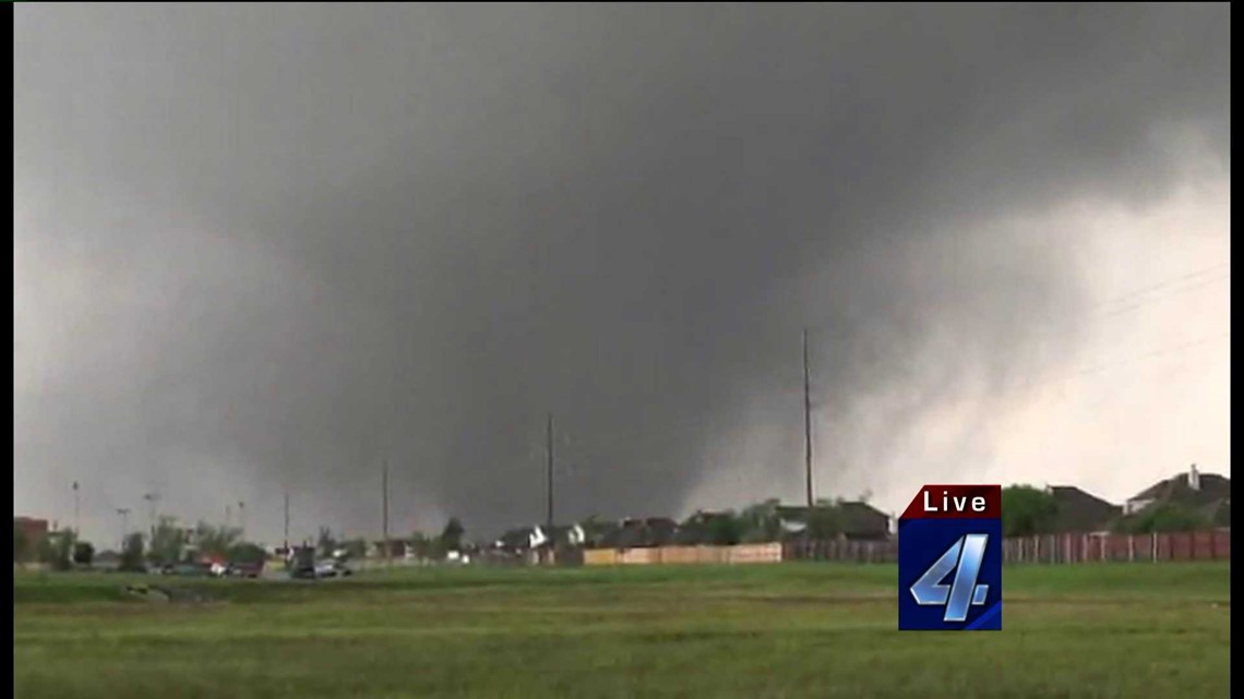
8: In this view from early in the storm, you can see the tight rotation at the base:

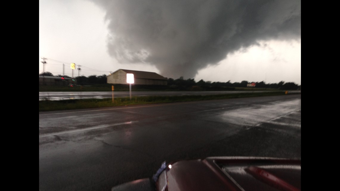
9: This is a dramatic view of the storm moving through a subdivision, doing damage to homes just blocks away from where the photo is being taken:

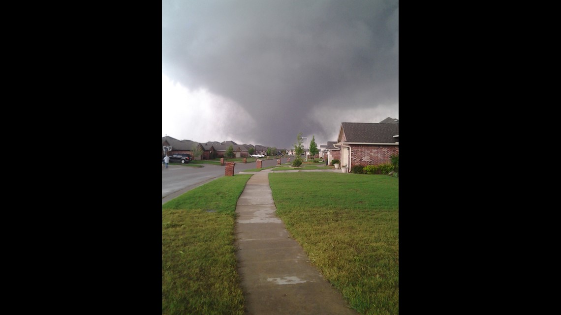
10: And finally, a view that again shows how wide this storm was – you can clearly make out the base of the tornado and see a large area of debris it’s picking up and swirling around the base:

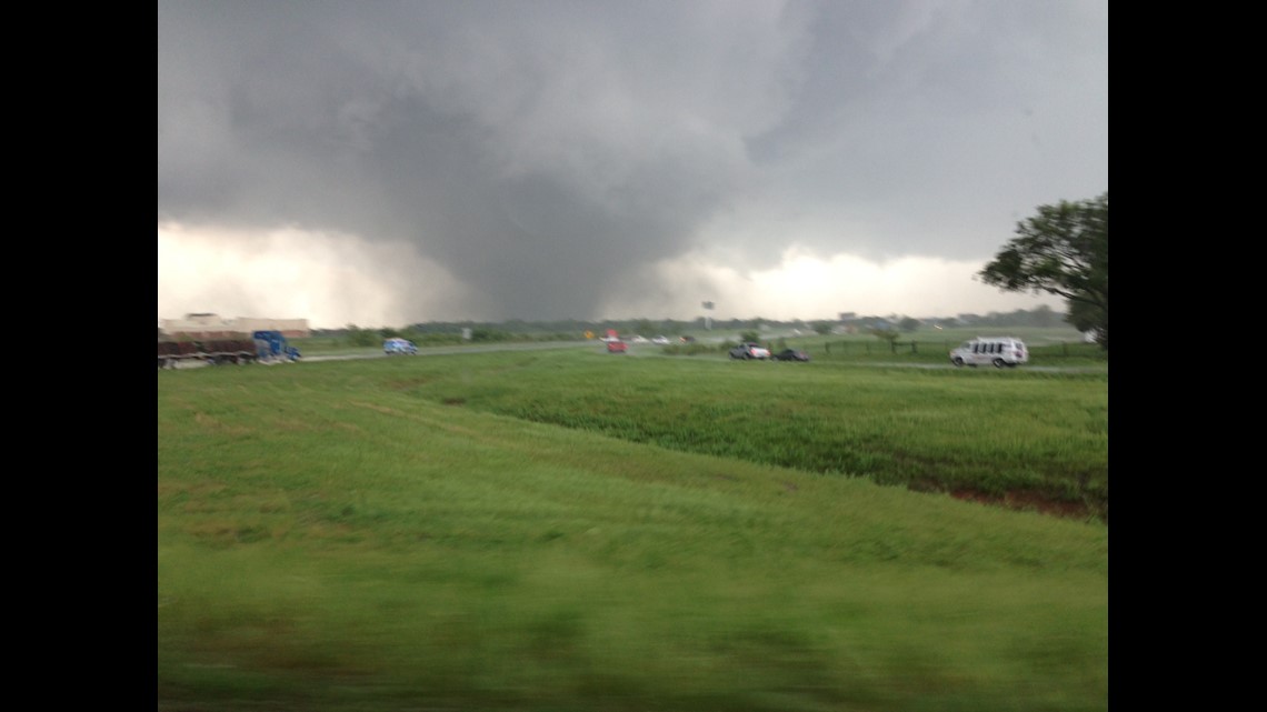
For continuing live and on-demand coverage of this story visit KFOR-TV Newschannel 4 in Oklahoma City, OK.


