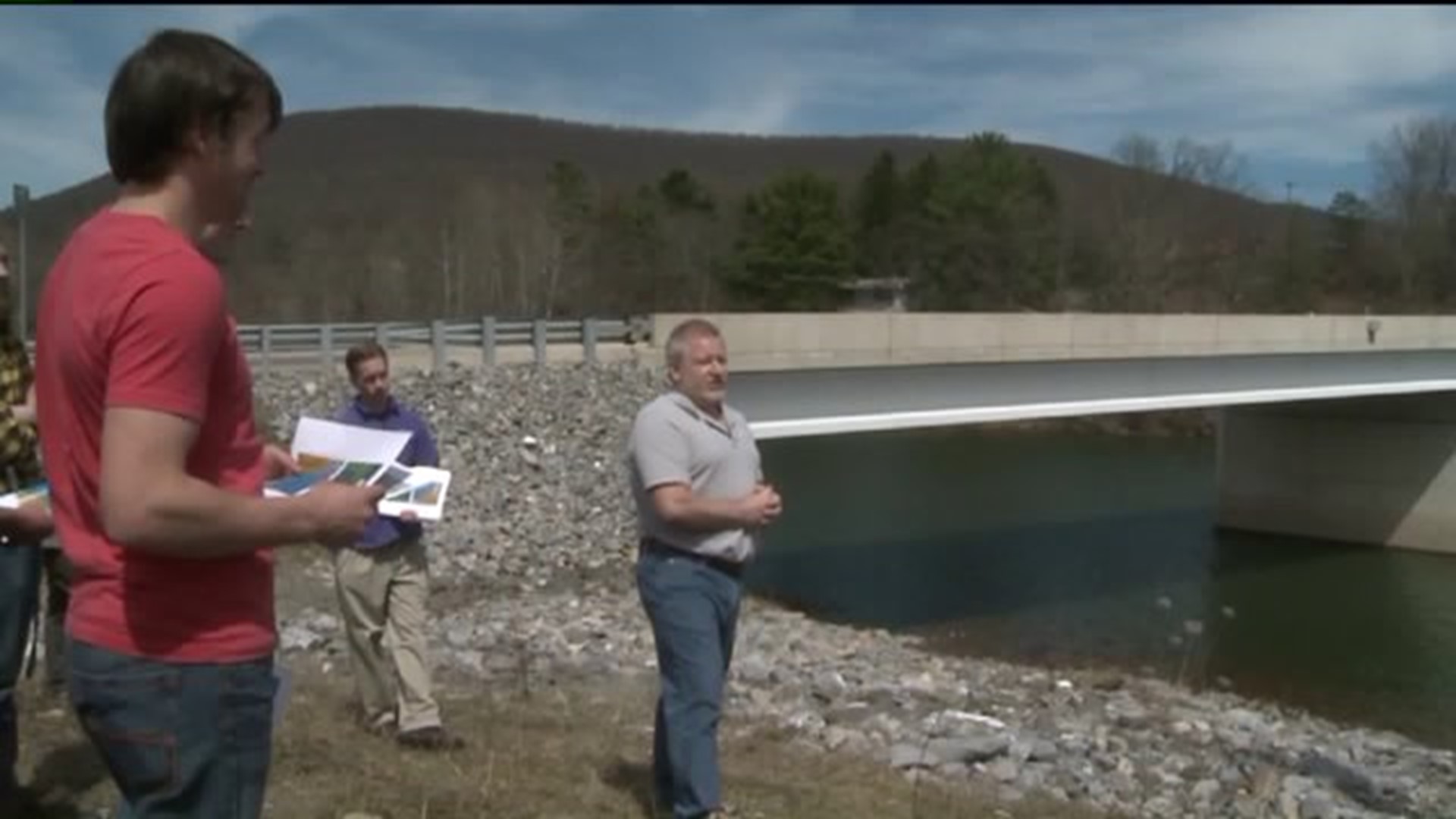
ELDRED TOWNSHIP -- A group of eager engineering students from Penn College saw firsthand how the experts keep track of water levels at a creek with a history of flooding.
Most of the students in the class weren't there in 2011 when Loyalsock Creek flooded and destroyed the Slabtown Bridge.
The class went to a water measuring station near the bridge Wednesday where some hydrologists showed them how and why they keep track of the Loyalsock Creek.
From a distance, it may look like just a concrete block alongside what people in the Montoursville area call the Slabtown Bridge. The bridge carries Route 973 over the Loyalsock Creek.
"Before this field trip, I honestly didn't have an idea of what these weigh stations were or what they were used for," said senior James Cassidy.
That concrete block is really a stream gauge. Cassidy and his engineering classmates from Penn College of Technology in Williamsport took a look inside.
"We pretty much do calculations and different instruments they use. And that hasn't really been anything we've gone over," said Andrew Susan.
"They basically monitor the flow of the water. One of the main purposes people like it is because it will give us an idea if something is going to flood," explained hydrologist John Clune.
Clune works with United States Geological Survey. He studies and collects information about this creek's water quality and flow. Some of that information is used to help predict if a flood is more likely to happen.
"Your weathermen, stuff like this, they are very familiar with our USGS gauges," Clune said.
In September of 2011, water levels were high and Loyalsock Creek flooded and destroyed part of the Slabtown Bridge.
"I saw them rebuilding the bridge and saw some of the damage on the road. It was completely washed out."
USGS employees say after the flood, they moved the building to higher ground and added newer equipment.
"That's one of the reasons why they replaced it so quickly, so they can figure out if that's going to happen again and possibly when," Cassidy said.
While Clune says a flood like the one in 2011 may not happen again anytime soon, the more information they collect, the better prepared they'll be.
"Getting these measurements over time will help protect communities better, will provide better science information to help make better decisions."
The hydrologists say they check that stream gauge about every six to eight weeks for water flow levels. The water levels are currently about average for this time of year.

