
No doubt about it, we’ve seen A LOT of rain this summer and early fall. One of the most frequently asked questions has been “does this mean we’re in for a snowy winter”? In short – there’s no correlation between a wet summer and what it means for winter. However, if temperatures turn cold and the storms keep coming… well… snow would follow.
That’s more of a long range outlook though. In the short term, we have a storm on the way for Friday that while it features mostly rain, it’s actually a sign of a pattern shift for the middle of the month.

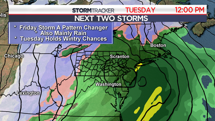
Here’s a look at that Friday storm. It’s a coastal storm that looks to be a fairly quick mover. Most, if not all of Friday will be rather wet. Bad news for the high school football playoff games. Second week in a row of soggy Friday weather.
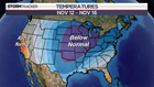

The temperature map is from the Climate Prediction Center for Monday – Friday of next week. They’re also locked into the idea of this Friday storm being a pattern changer. Much of the country is set to see a deep trough with below to much below average temperatures for much of the week. Now when you combine much below average temperatures with a storm… you leave the door open for some snow.
The reason for this shot of cold air next week is directly related to something called the “PNA index”. The Pacific/North American teleconnection pattern (PNA) essentially measures the polar jet stream’s strength and how willing or reluctant cold air in Canada is to descending into the Eastern United States. When it enters a “positive phase”, cold air is much more willing to pour into our region. However, the same can be said when there’s a shift underway from the negative phase to the positive phase. Current indications show that there’s a strong trend from a negative phase to at the very least, a neutral phase by next week. And wouldn’t you know….
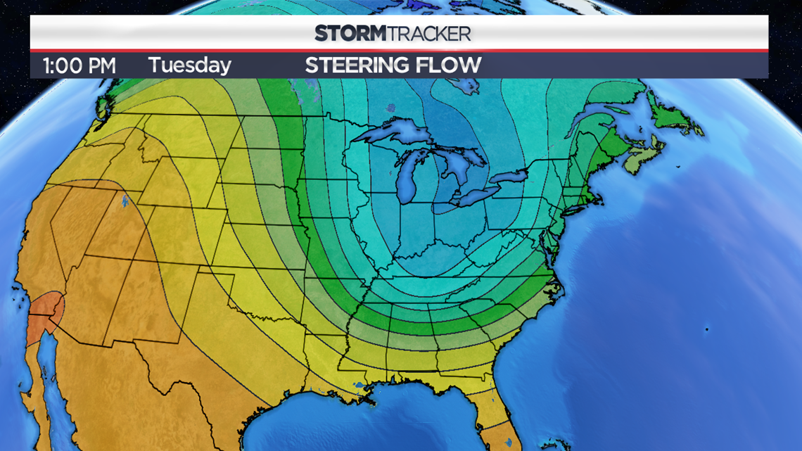
… our weather models are hip to the idea of this shift and they are all displaying a deep trough in the jet stream carved out in the Eastern US. This will be the culprit for the much below average temperatures.
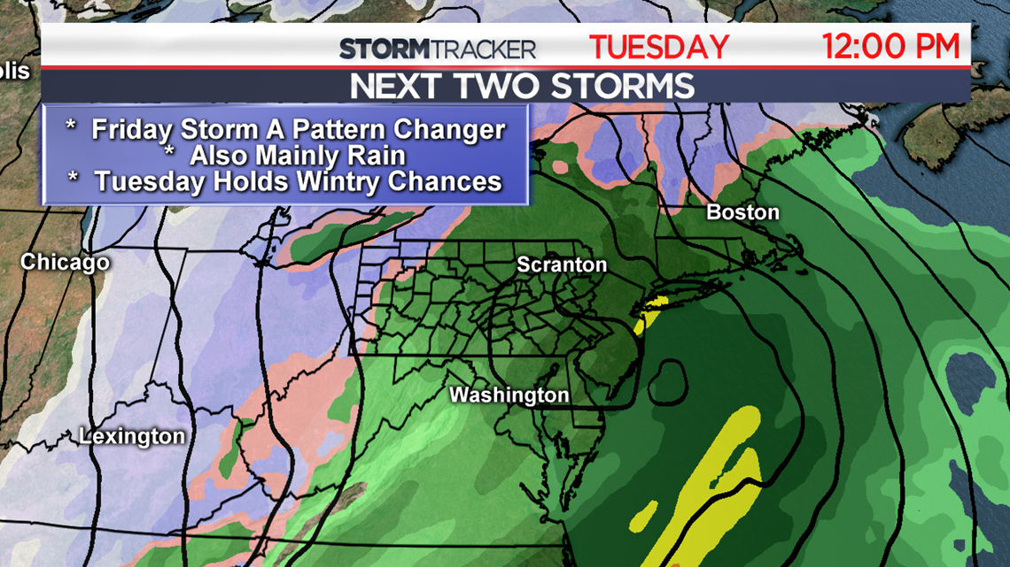
Weather model guidance is also hip to the idea of a coastal storm developing next Tuesday (November 13th). While we don’t have good blocking in place to lock in a bunch of cold air, there are a number of factors that do remain up in the air at this point in time. Things like track, trough position and tilt, timing of the storm (day versus night), and just how cold the air is in that trough will ultimately determine the precipitation type.
It currently looks like a cold rain going over to some squally snow showers Wednesday (November 14th) as the storm pulls away.
Winter lovers, there’s no slam dunk major winter storms just yet, but this active pattern and shots of colder air are a sign for hope.
Stormtracker 16 Meteorologist John Hickey
Facebook: Meteorologist John Hickey WNEP
Twitter: @JohnWNEP