
As we approach the month of May we start thinking about severe weather season.
Before the end of 2012 the entire fleet of government weather surveillance radar will have undergone a big upgrade.
For years, meteorologists have used Doppler radar to see the rotation of raindrops where there might be a tornado. Now there is a new kind of radar that can detect the rotation of hail and even the debris that tornadoes blow into the air and that can mean faster tornado warnings.
It's called dual polarization radar and it's giving meteorologists a more precise view of what's inside a tornado or any other kind of storm.
Now we can better tell whether we are expecting rain, hail or snow either alone or mixed together.
We can now tell the difference between raindrops, insects, birds and leaves or building insulation and shingles.
"It's going to help us improve our precipitation estimates from the radar. It's going to help us determine how big the hail is and all this information gives us a better sense of what's falling out of the sky," explained meteorologist Dave Nicosia of the National Weather Service in Binghamton.
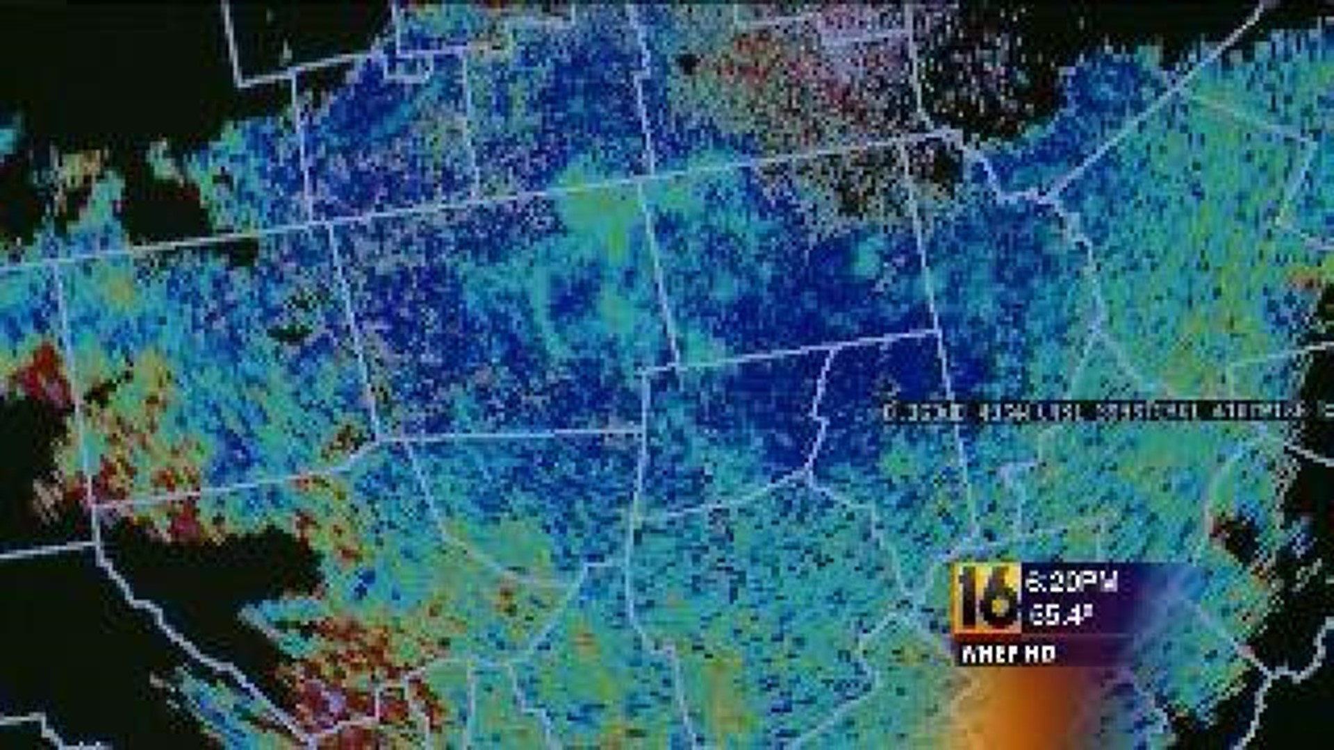
A dual polarization radar image offers better detection of high intensity rainfall.
"This tells us how much water is in the storm, how juicy, how much heavy rain is in the storm. This is tremendously helpful information when predicting floods," Nicosia said.
When predicting tornadoes the average advance warning time is 11 minutes before a tornado hits. That warning could come earlier thanks to dual polarization radar.
"The bigger the debris the more the signature looks like so we can really tell that this can be a very dangerous tornado and get some notice out even quicker than we were able to before," Nicosia added.
The antenna that the new radar uses is located a short distance away from the National Weather Service office. Inside a big dome is a giant dish antenna that can detect storms up to 200 miles away.
The cost for each radar upgrade is around $200,000 of taxpayer money.
"For the tremendous benefit we're going to get just those extra warning times and public safety it's a bargain," Nicosia said.
The radar displays that you’re used to seeing on TV and the internet won’t change but all the new radar information will be giving forecasters more confidence to accurately assess and predict weather events.