
TOWANDA - Northeastern and central Pennsylvania has seen its fair share of flooding over the years, and residents have also seen their flood insurance rates go up.
But, a new federal act could cause a rate hike up to 18 percent.
Residents in Towanda are hoping the borough can help them save some money.
The borough is in the middle of a re-mapping project with Federal Emergency Management Agency.
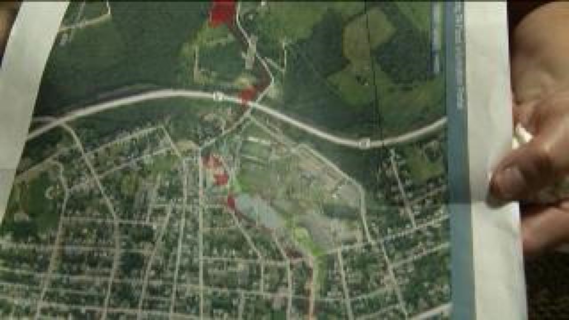
Those maps are what companies base their flood insurance rates off of, but Towanda Borough Manager Kyle Lane said these new maps are using old data.
"They're going off a model a scientific model that was created in the early 80's, late 70's," said Lane.
Lanes said, in those 30 years, they've built a new bridge, a new highway and added a new drain pipe - all to prevent flooding.
"Those improvements are not accounted for in that model," said Lane.
According to those FEMA maps, William Street, Mix Avenue, and North Main Street wouldn't necessarily be affected if the Susquehanna River flooded, but instead, could be affected by mix run, which is runoff coming down Mix Avenue. But people who live here said that's never happened.
"We never ever been flooded and we've been here for 34 years and we've never seen no water at all," said Linda Preston from Towanda.
The Prestons live on William Street.
They've sent letters to FEMA about the flood zones for years.
But they were recently told their insurance could go up by 25 percent.
"It's terrible. They need to do something. They need to have someone look into it a little bit better than what they're doing," said Preston.
The borough manager said he's in the process of filing another appeal to FEMA.
"We are going to move forward with the LOMAR, which is a letter of map revision process which involves this study," said lane.
According to FEMA, the new flood maps and insurance rates will go into effect in October.